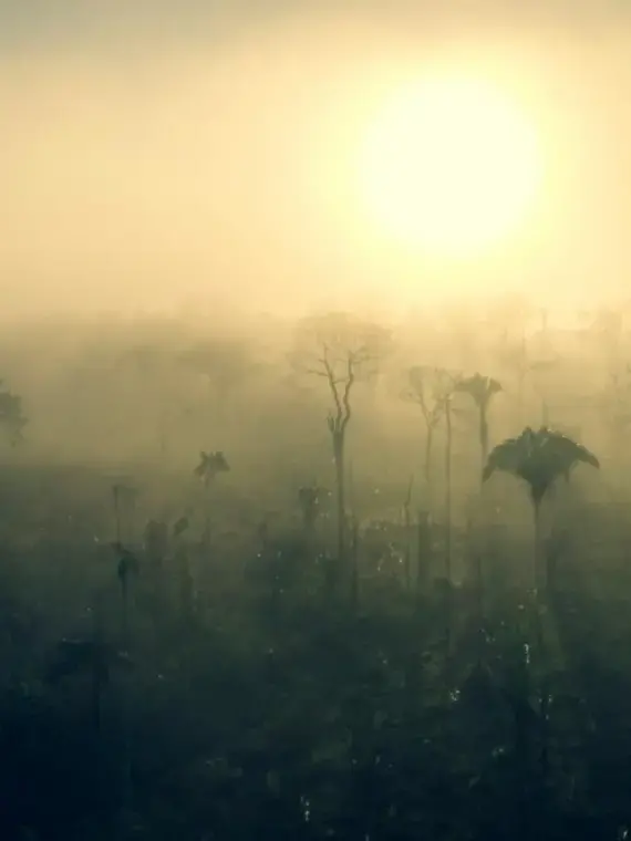

The present project will map and investigate the land conflicts and illegal logging that have ushered the south of Labrea — in the Amazonas state — into the public's imagination as the Amazonian "far west".
Located on the border with Acre, Rondônia, and Bolivia, it is over 500 kilometers away from the nearest city center. Such distance explains the sense of statelessness that reigns in the region, allowing criminal activity — land grabbing, executions, and deforestation — to thrive unbridled.
With very asymmetric forces playing out in Labrea, the bloodshed has been increasing for decades on end. There are accounts of the body count being in the hundreds.
To make matters worse, the south of Labrea is one of the few parts in the region that isn't a conservation area nor indigenous land. This adds a gold-rush layer to the conflict, as the unprotected lumber stocks are massive.
In the districts that have appeared as a result of the illegal logging, there are dozens of sawmills. This project aims to map the land grabs in the region as well as to investigate the complex supply chain related to illegal logging by using Repórter Brasil´s expertise. This project will use maps and infographics and will be produced in partnership with Repórter Brasil, UOL, Folha de S.Paulo, El País Brasil and Mongabay with the goal of helping readers understand this complex conflict in a forgotten and uncovered Amazon region.

