Story
 December 21, 2021
Ho Chi Minh City Asking for Forest Land for Island Development (Vietnamese)
Country:


An investigation into how 1,000 hectares of forests in Ho Chi Minh City, Vietnam, have been...
This story excerpt was translated from Vietnamese. To read the original story in full, visit Nguoi Dothi. Our website is available in English, Spanish, bahasa Indonesia, French, and Portuguese.
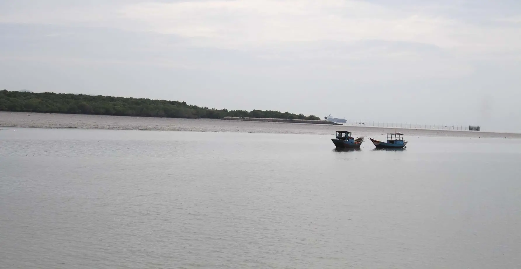
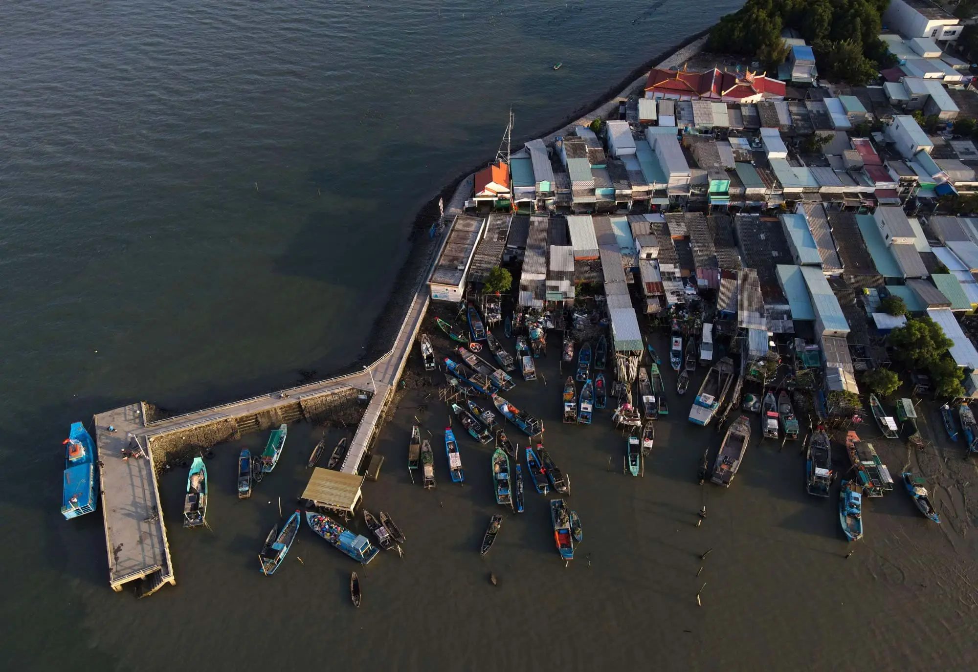
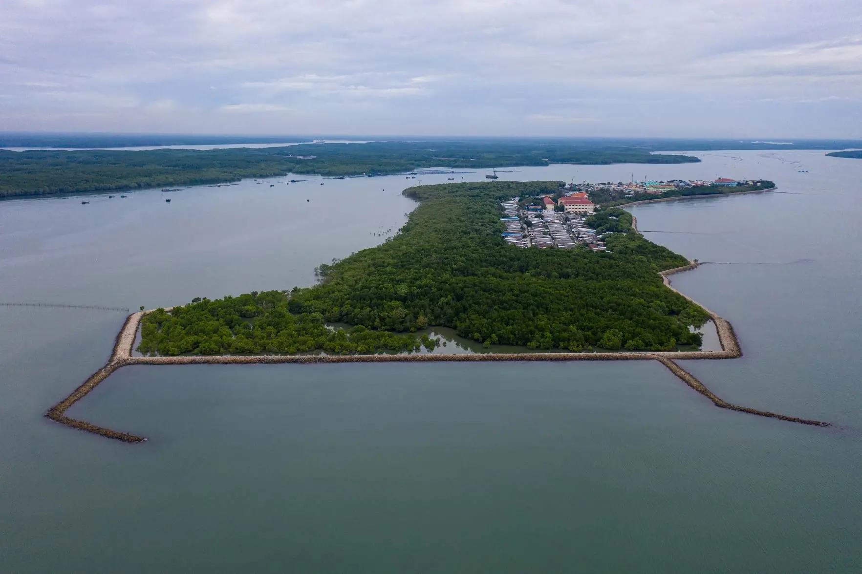
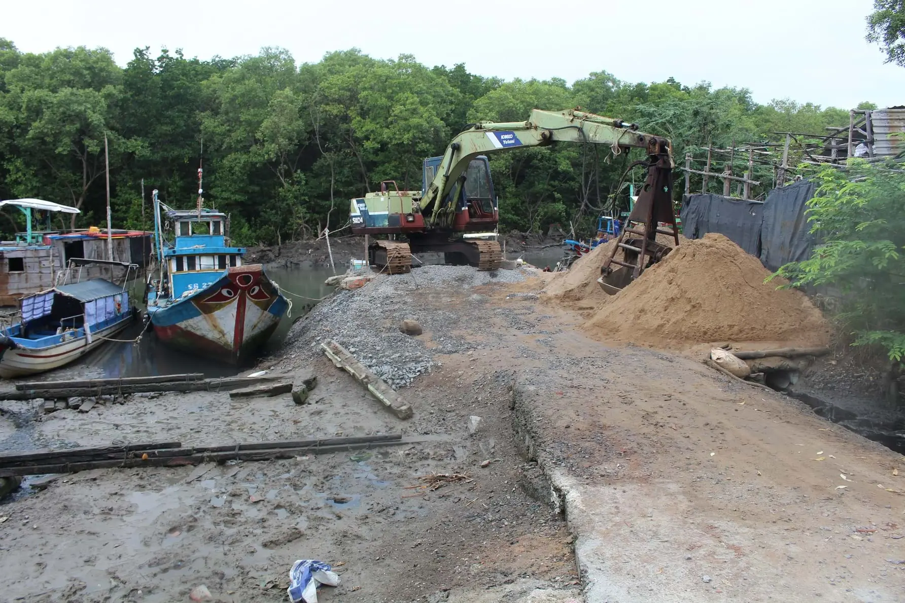
Phu Loi Island, also known as Thanh An Island, is the administrative center of Thanh An commune, Can Gio district, Ho Chi Minh City (HCMC). Out of its total area of 48 hectares, 31 hectares are natural mangrove protection forests. The city government has been preparing a dossier to submit to the Prime Minister for permission to convert all protection forest land on the island to another classification, in order to build houses and factories, and develop tourism for the only island commune of the most populous city in Vietnam.
The article explored the “trick” of reclassifying forest land to be exploited for other purposes, which has been employed not only in HCMC but also in many other provinces in the country.
As a nonprofit journalism organization, we depend on your support to fund journalism covering underreported issues around the world. Donate any amount today to become a Pulitzer Center Champion and receive exclusive benefits!

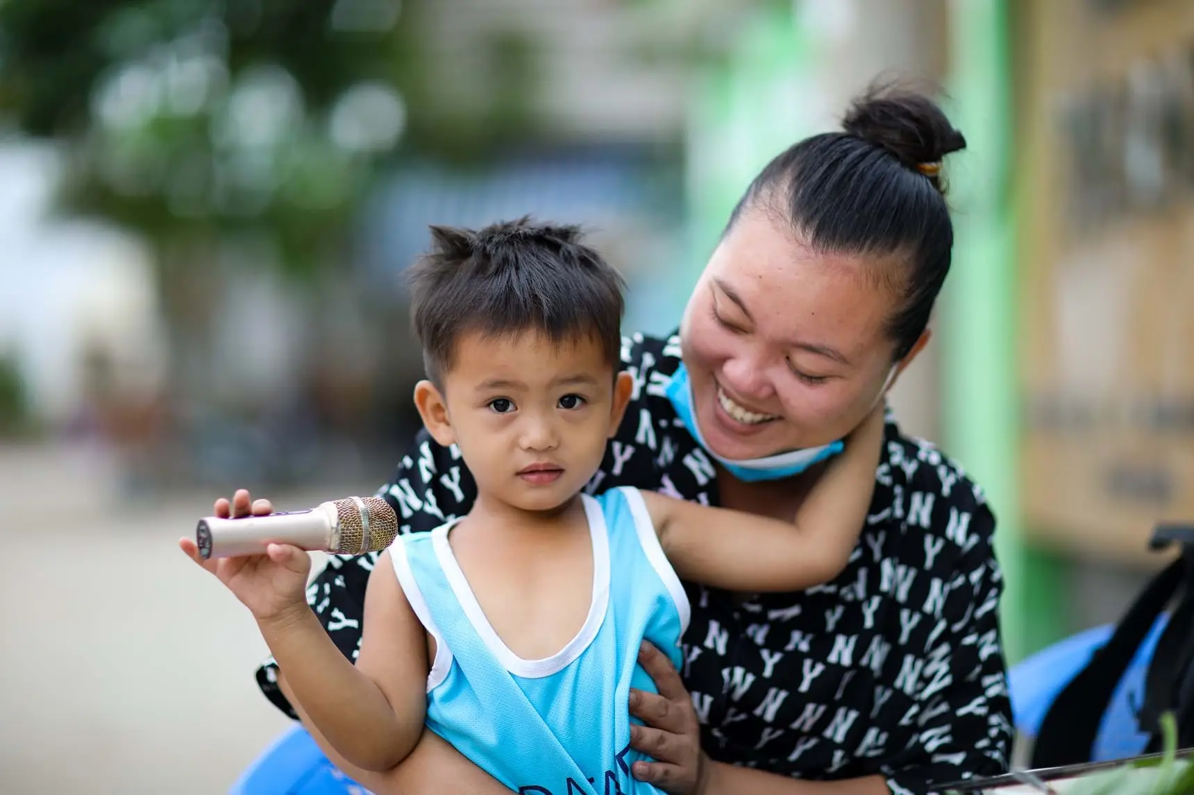
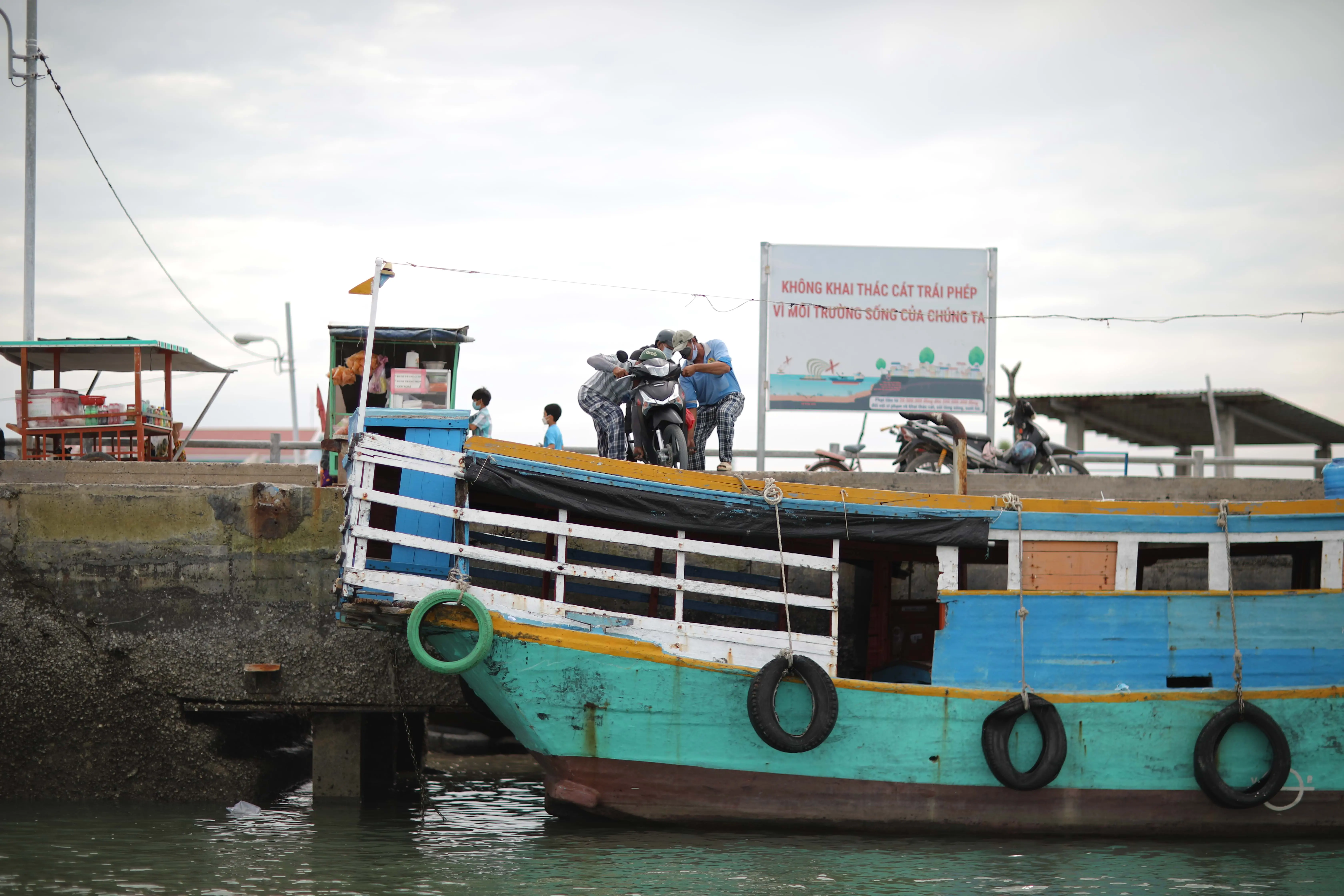
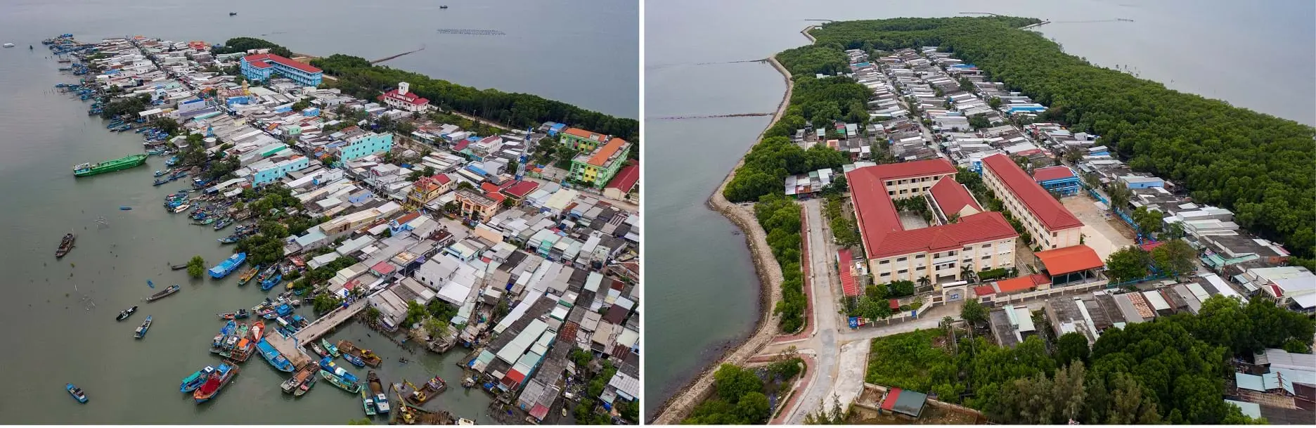
Currently, Phu Loi Island has a total population of nearly 3,500. Its inhabitants are distributed over the18-hectares area of the two hamlets Thanh Hoa and Thanh Binh.
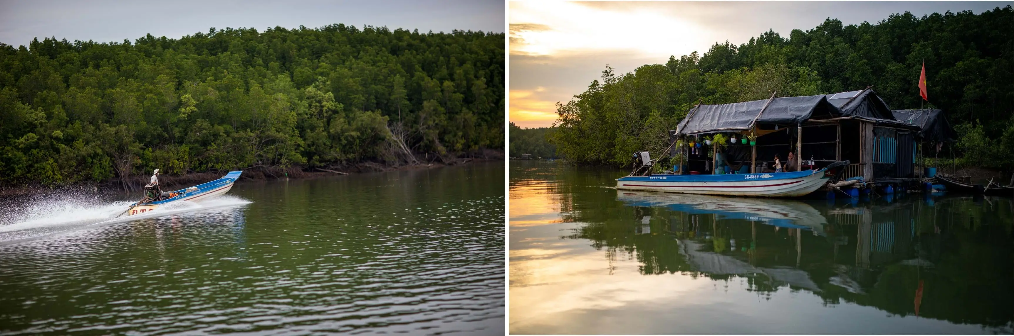
It takes less than 30 minutes to walk the length of these hamlets, where houses are crammed together. It has been just over a year since the authorities started to allow locals to renovate and expand their houses. These days cement and sand used for renovation can be spotted throughout the small and peaceful island. A poor island commune with low-lying land which is often flooded by high tides, Phu Loi was off the grid until 2015 when underground cables to the island were established, helping to gradually change people's lives here. But water still has to be carried over by barge from the mainland. Perhaps that is why the desire to develop more prosperously is not only shared among islanders but also among the leaders of Ho Chi Minh City.