Story
![]() March 7, 2022
March 7, 2022
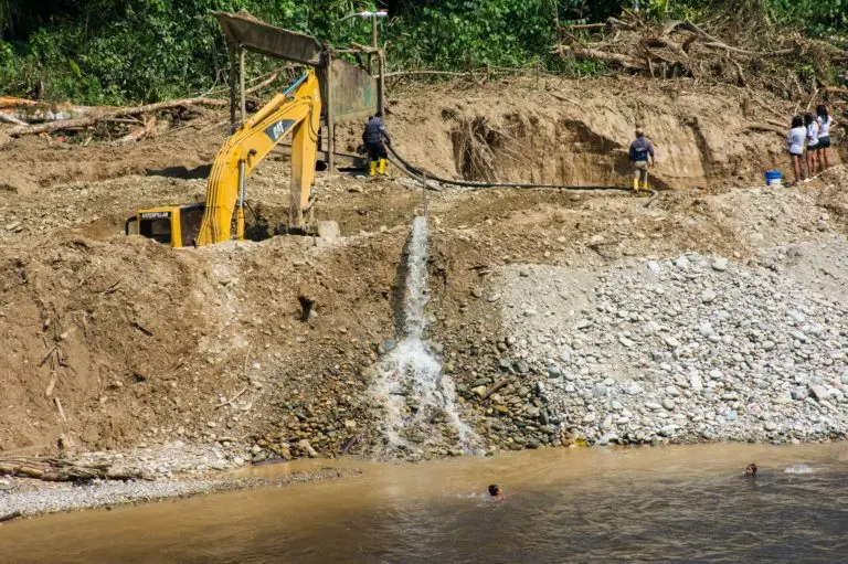
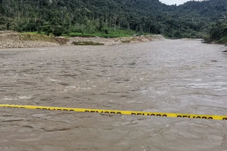
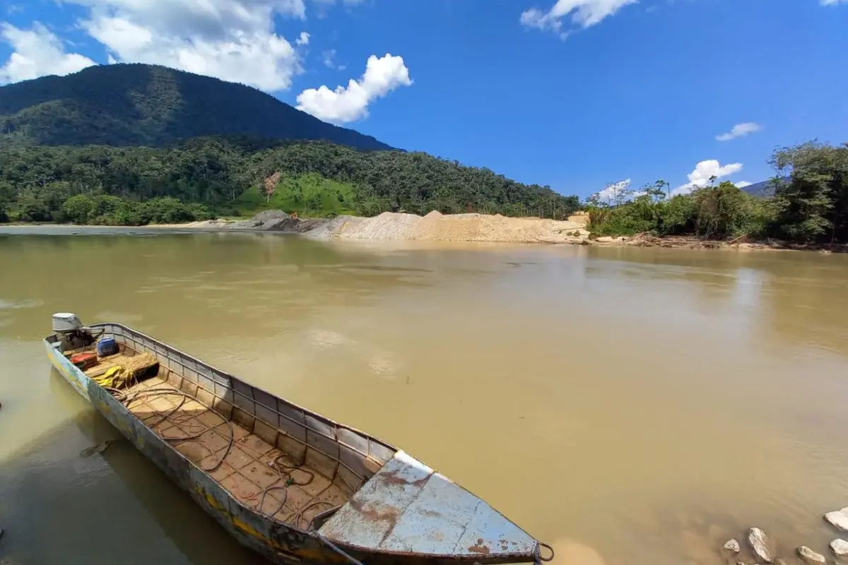
Ecuador: Mining Is Destroying the Environmental Richness of the Nangaritza River (Spanish)
Country:

Project
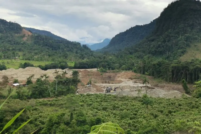
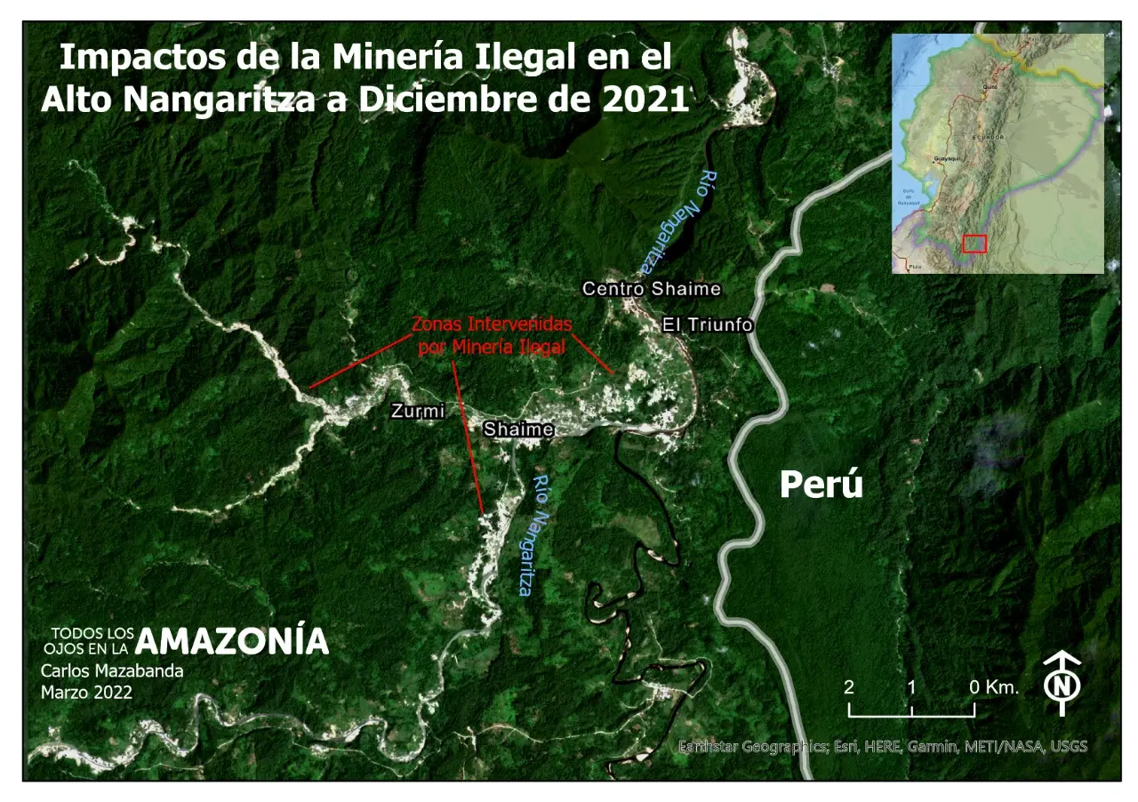
The Map of Death
The Map of Death seeks to offer a visual understanding of the destruction registered in the...


This story excerpt was translated from Spanish. To read the original story in full, visit Mongabay. You may also view the original story on the Rainforest Journalism Fund website here. Our website is available in English, Spanish, bahasa Indonesia, French, and Portuguese.
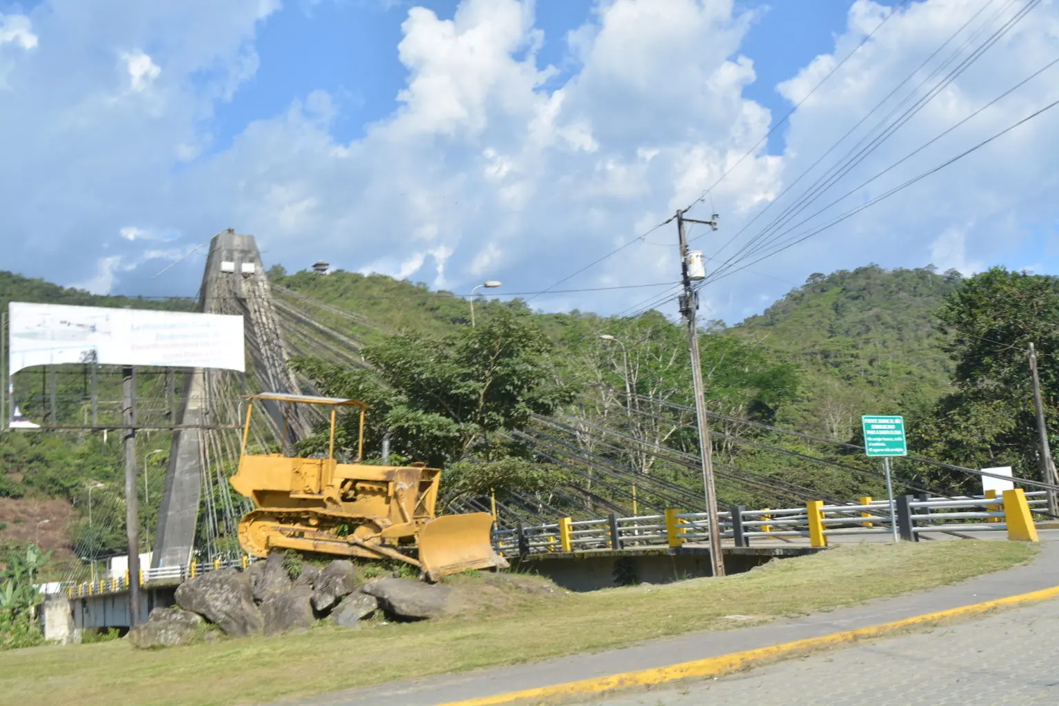
The road that connects the provinces of Loja and Zamora Chinchipe is a succession of esses surrounded by lush, very green mountains that look like postcards. Near the city of Zamora there are signs welcoming you to the "land of waterfalls and birds." And sure enough, there are birds flitting around. There is a river that accompanies the road and enters the city. There is a boardwalk that overlooks the noisiest and most touristic avenue of this Amazonian city located in the south of Ecuador. These postcards are, more or less, what travelers expect to find when they think of the Ecuadorian Amazon.

As a nonprofit journalism organization, we depend on your support to fund journalism covering underreported issues around the world. Donate any amount today to become a Pulitzer Center Champion and receive exclusive benefits!
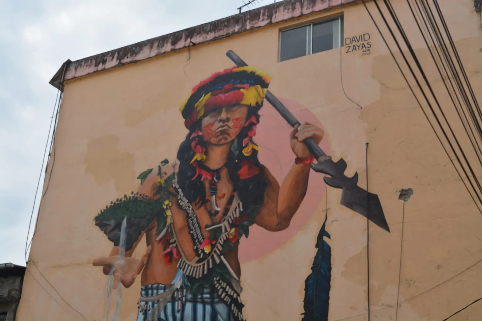
But there are scenes that break the idyll. Five minutes from the boardwalk by car is the Redondel del Minero, a monument about five meters high that shows the figure of a man with a helmet and boots holding in his hands a pan for washing gold. The statue is so well done that the skin looks as if the tropical heat has toasted it. The miner looks out over the Zamora River and the Podocarpus National Park, a 146,280 hectare protected area that is home to unique bird species and a complex of more than a hundred lagoons. It even gives the impression that the giant miner is bowing to them.
The monument is the first indication that in Zamora Chinchipe everything revolves around mining, despite the fact that the entire province is a green spot of 10,556 square kilometers crossed by rushing rivers, fine wood trees, medicinal plants and countless endemic animal species. But it also holds in its soils tons of gold, silver, copper and bronze.